Dallas Geophysical Society Luncheon-October

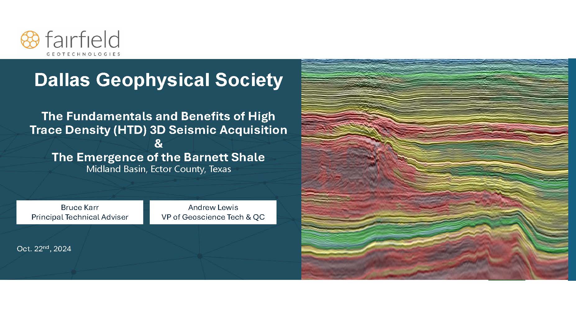
- The Fundamentals and Benefits of High Trace Density (HTD) 3D Seismic Acquisition - Presented By Bruce Karr
- The Emergence of the Barnett Shale, Midland Basin, Ector County, Texas – Presented By Andrew Lewis
Additionally we will have a Poster Presentation:
- The Western Boundary of the Espanola Basin of the Rio Grande Rift in the Northern Jemez Mountains, NM - Presented by Carson Pennington (MSc Student-UT Dallas)
She will start around 11:40 and present informally her poster to all those interested during the lunch portion of the meeting prior to the Fairfield talks. See tabs above for more information on the talks and Posters.
Talk to be held at SLB's office in Addison, TX. We will be located in the conference room on the ground floor, adjacent to the elevators. Lunch to be provided at 11:30 and technical talks to begin at Noon. Register early as space is limited. Limited number of free and discounted student tickets available for student DGS members.
A Case Study on the Emergence of the Barnett Shale in the Midland Basin, Ector County, Texas
Andrew Lewis1, Taylor Mackay1, Robert Dimit2, Brett Bracken2, and Andrew Bell3
1 Fairfield Geotechnologies, 2 Ares Energy, 3 Andrew D. Bell Exploration, Inc.
This study focuses on technological applications and results of a Barnett shale drilling program in Ector County, TX. The emergence of significant hydrocarbon production from the Barnett shale is occurring along the transition from the Central Basin Platform into the Midland Basin primarily in Andrews and Ector counties and extending eastward. This study looks back on five wells drilled and completed in the Barnett formation in Ector County, Texas between September 2021 and November 2023 with the utilization of seismic and its integration with limited geologic control. High trace density (HTD) 3D seismic data, measured while drilling (MWD) gamma ray logs and mud logs are used in conjunction with production data to evaluate well performance.
Each well in this drilling program utilized HTD 3D seismic data. However, while these wells were being planned and drilled, post-stack time migration (PoSTM) data and eventually pre-stack time migration (PSTM) data were the only available imaged datasets. This study looks back at each well in this program using a pre-stack depth migration (PSDM) image of the same data that benefits from a detailed velocity model produced using time-lag full waveform inversion (FWI). This velocity model and a pseudo-density model generated from it are used as the background trend for a post-stack simultaneous inversion to acoustic impedance. Available MWDs and mud logs are overlaid on these data to assess well planning and reservoir quality in these Lower Barnett Shale wells.
An example of the observations in this study is derived from the first well in this program, the Sweet Melissa. Upon analysis of the PoSTM seismic data, this well was repositioned about 800 ft to the southwest to mitigate the lateral’s traverse across a potentially faulted structure. As a result, this well managed to be drilled longer than planned with a total lateral section of 10,155 ft. The first 12 months of production resulted in 220,155 BOE with an 80% oil cut. The estimated ultimate recovery for this well is 1.2M barrels of oil and 1.8 BCF of gas. The lateral wellbore tracks the Barnett structure seen in the PSDM image to the degree that this well stayed within a 25 ft thick target zone despite encountering over 500 ft vertical drop midway through the lateral over a 1-mile distance.
This case study illustrates the impact that HTD 3D seismic data has on an ongoing drilling program in the Barnett shale. The ability to plan for and respond to rapid structural changes of a relatively thin target zone when there are not many corollary wells in proximity impacts the positive economics of this asset development. High quality data acquisition, processing, and geologic characterization of HTD 3D seismic data are significant factors in the emergence and economic success of the Barnett shale in the Midland Basin.

Bruce Karr, Principal Technical Adviser for Fairfield Geotechnologies, Worked for Fairfield since 1994 as a Senior Geophysicist, Technical Manager, Processing Center Manager and now Principal Technical Adviser. Mr. Karr’s expertise includes 3D and 4D multi-component land data, with particular focus on geophysical problems including long wavelength statics, spectral enhancement, noise, depth-time issues, land seismic acquisition design and land field technology.
Mr. Karr received a BS in Geophysical Engineering and a minor in Geology from the Colorado School of Mines in 1988 and began his career with GSI shortly after graduation in Saudi Arabia. Mr. Karr transferred to Midland, Texas, where he began processing seismic data. By the early 1990s, West Texas was a prolific region for 3D surveys being acquired in the Midland and Delaware basins.
Mr. Karr has worked with students and professors in partnership with the Colorado School of Mines Reservoir Characterization Project (RCP), Golden, Colorado; the Bureau of Economic Geology Consortium (EGL), Austin, Texas; and the Kansas Geological Survey (KGS), Lawrence, Kansas. Mr. Karr has produced or coproduced a number of papers and presentations concentrating on his areas of expertise in solving geophysical, geologic and reservoir problems. As a member of the Fairfield Geotechnologies team, Mr. Karr uses his knowledge to help clients resolve complex land project challenges.

Andrew has 16 years of experience as an energy industry professional. He graduated with an M.Sc. in Geophysics from the University of Houston in 2012 and with an Executive MBA from Texas A&M’s Mays School of Business in 2020. As Vice President of Geoscience at Fairfield Geotechnologies, Andrew works with his customers, team, and vendors to create fit for purpose products. He is responsible for the products that comprise Fairfield's multi-client seismic data library. He leverages this library along with technical partnerships to showcase the value of seismic data. His business acumen and integrated technical background in energy geoscience enable him to conceptualize, develop, and commercialize solutions that result in data-driven decisions for Fairfield’s customers. He is passionate about creating a sustainable future for energy, and continuously works towards developing solutions that are both environmentally friendly and socially responsible.
The Western Boundary of the Espanola Basin of the Rio Grande Rift in the Northern Jemez Mountains, NM
Carson Pennington*, University of Texas at Dallas, Richardson, TX, United States, John F Ferguson*, University of Texas - Dallas, Richardson, TX, United States, Shari Kelley*, New Mexico Institute of Mining and Technology, Socorro, NM, United States and Nadine Igonin*, University of Texas at Dallas, Richardson, TX, United
States
ABSTRACT
The Summer of Applied Geophysical Experience (SAGE) of 2023 undertook investigations in locating the early western margin of the Rio Grande rift that is obscured under the Jemez Mountains volcanic field (JMVF). SAGE, a geophysical field course operating in New Mexico for 40 years, has produced geophysical data used to interpret the subsurface geology of the Rio Grande rift. Gravity data has been the best means of extending the subsurface interpretation beyond areas with seismic control.
New gravity data in the southern JMVF and Valles Caldera areas collected by SAGE was merged with lesser quality legacy data collected in the 1970s and earlier. Since there was no modern coverage in the northern JMVF, a gravity survey was undertaken in the summer of 2023 and 73 stations with excellent gravity control from absolute gravity stations and precision phase-differential GPS elevations were added to enhance gravity modeling in the northern JMVF.
A gravity low coincides with normal faults between Abiquiu in the north and the Valles Caldera in the south. Compiled geologic mapping by the New Mexico Bureau of Geology and a recent structural study documenting clockwise rotation of extension in this area aided interpretation of the data. The faults bounding the gravity low include the Coyote, Gonzales and Cañones fault zones. Widely scattered outcrops of the rift-related Abiquiu Formation and Santa Fe Group sediments are associated with fault zones and the gravity low in the northern JVMF.
Additional constraints are provided by seismic reflection and refraction profiles shot by SAGE in 1989, 1990, 1991 and 1994 in areas just north and east of the JVMF. Gravity modeling constrained by seismic and geologic data makes a strong case for the existence of a broad, shallow early Miocene rift basin in the northern Jemez Mountains overlain by volcanic rocks ranging in age from about 10 to 2.5 Ma (Lobato, La Grulla and Tschicoma formations). The evolution of the JVMF appears to have been strongly influenced by the pre-existing and ongoing rift faulting through the Miocene to Pliocene.

When
Location
- Madison Building -15851 Dallas Pkwy, Addison, TX 75001 US


